


Master Plans Simplify City Planning
A master plan is an informal planning tool to explore development potentials in a city or district, to present a rough outline for its potential future use. It is not legally binding, and is subject to a standardised procedure. The planning scale is arranged between the regional land-use plans and local development planning, and is thus usually used as an intermediary. The contents of the plan – both text and plan images – serve to simplify the representation of future urban planning and development possibilities.
Urban framework plans are often drawn up in order to achieve concrete usage results for competition procedures, or to protect certain urban areas (for example, protection of the property or its use). Public suggestions are particularly helpful. The framework plans presented here focus particularly on the development of high-rise buildings in Frankfurt’s inner city.
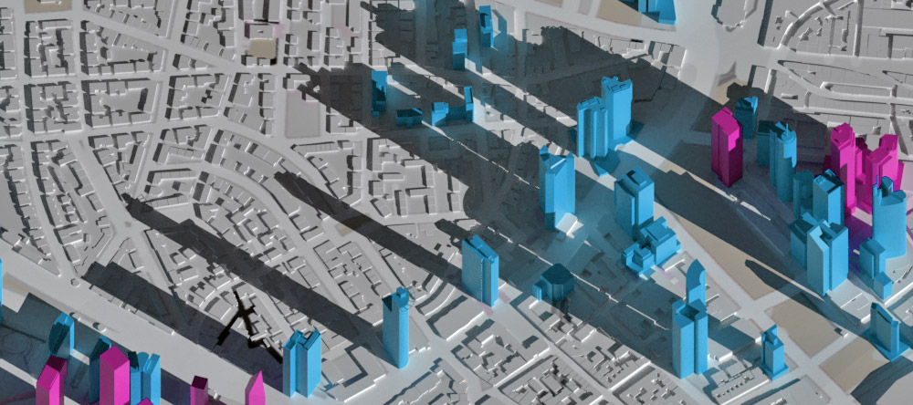 2024 High-Rise Master Plan
 2008 High-Rise Master Plan
 1998 High-Rise Master Plan
 1990 Framework Plan CBD
 1983 City Guidance Plan Frankfurt
 1974 Cluster Plan
 1971 Westend Plan
 1968 Finger Plan
 1964 Stöber Study
 After The War
Minds Behind the Original High-Rise Development Plans
Exchange of ideas with Jourdan & Müller Steinhauser Architekten about high-rise buildings and the high-rise framework plans in autumn 2020. Left in the picture: SKYLINE ATLAS editor Michael Wutzke. Right in the picture: Benjamin Jourdan, Nicolai Steinhauser, Felix Jourdan, and Jochem Jourdan, who worked together on the initial version of the high-rise development plan and its update. Our readers asked questions about these master plans, which were answered by Jochem Jourdan.

Practical Implementation of the Goals of the High-Rise Plans
 Stefan Pützenbacher
The City of Frankfurt is currently preparing an amendment to the current high-rise development plan. The guest author Stefan Pützenbacher (Frankfurt Research Institute for Architecture • Civil Engineering • Geomatics at the Frankfurt University of Applied Sciences) analyzes the practical implementation of the goals of the high-rise plans and gives deeper insights into previously less publicly known backgrounds in this article.

