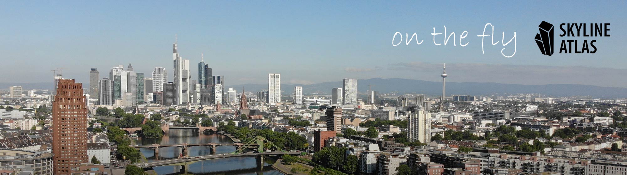
Aerial photos Frankfurt – Certified Drone Pilots

Some SKYLINE ATLAS authors and related drone pilots have been flying for years in accordance with the high legal requirements for drone flights in Frankfurt and the Greater Frankfurt region. Since then we have flown hundreds of hours with copters. Based on this experience we know how to put cities, landscapes and especially real estate

Michael Wutzke

The SKYLINE ATLAS goes back to Michael Wutzke as the initiator of the information portal. The English version was maintained by Daniel Kieckhefer for a long time. The SKYLINE ATLAS is intended to inform the public about the dynamics of the Frankfurt skyline. In the meantime, other authors and creatives have become part of the

2023 High-Rise Master Plan

The City of Frankfurt is using the 2022 High-Rise Master Plan to express its political opinion on how and where new skyscrapers are to be built in the future. Using this instrument investors and clients can better orient themselves. The planning department is currently working on updating the 2000 High-Rise Master Plan, which was last

About SKYLINE ATLAS

SKYLINE ATLAS is the community for Frankfurt and its skyline. SKYLINE ATLAS provides the public a permanent central location to discover content about its urban developments. We're doing this to bring people together for shaping a better city region. Numerous authors and creative minds produce the SKYLINE ATLAS. For decades the editorial staff has cultivated