10

Jan

Drone Photography and Aerial Photography in Frankfurt

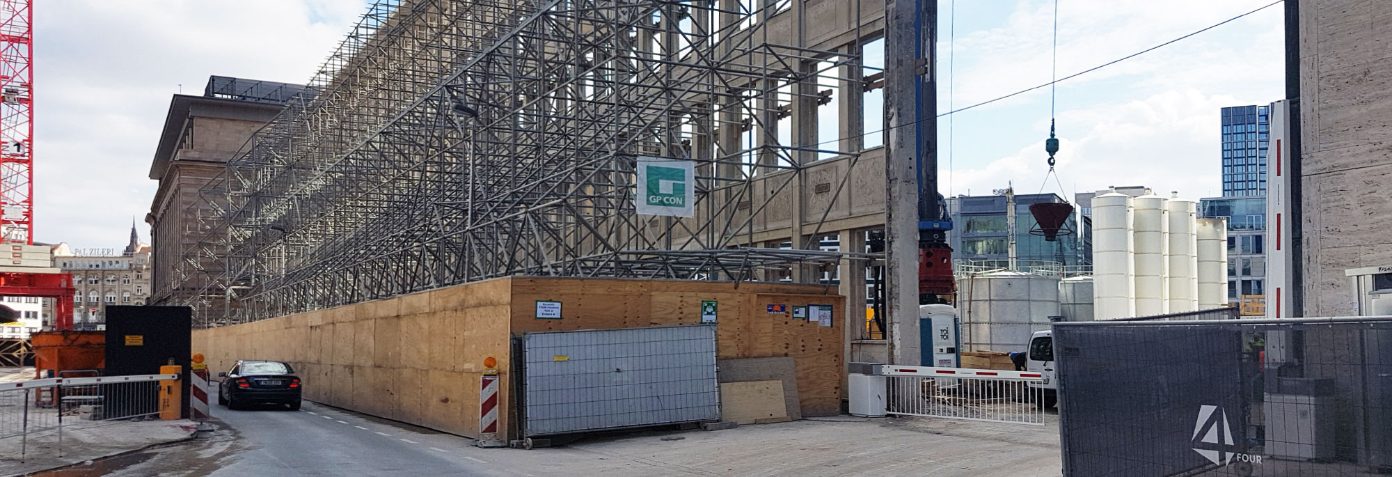
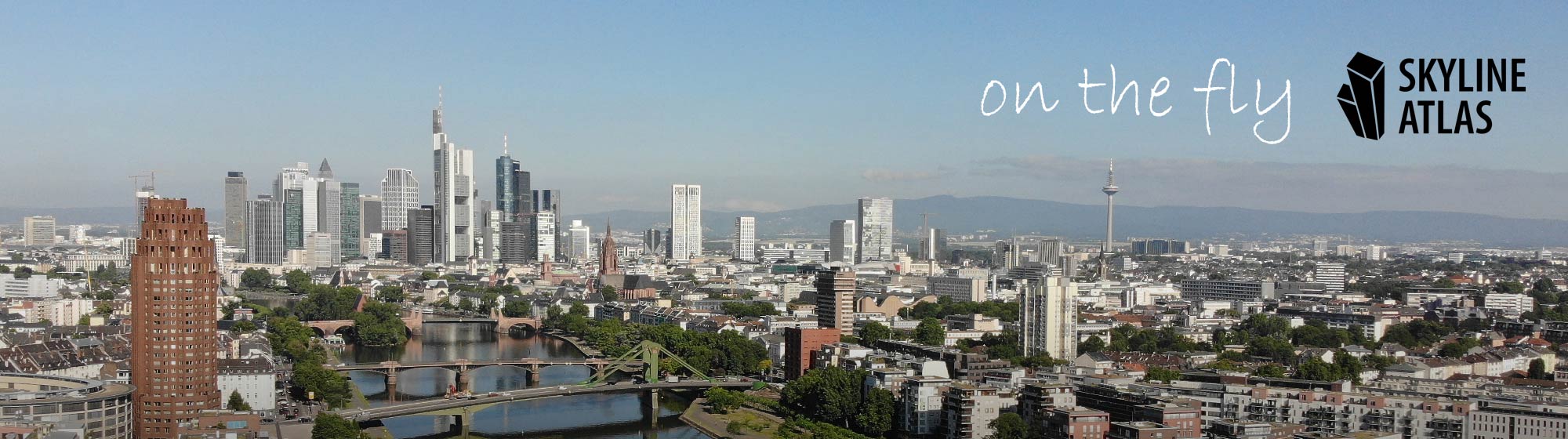
Thanks to increasingly innovative drone technology, architectural photography has long been established in three-dimensional space as well. Impressive presentations of existing properties for marketing, documentation of construction projects, and urban panoramic shots for building visualizations are just a few of the applications for which architects and project developers count on professional drone photographers today.First and

What is monument protection?

Monument protection serves to protect cultural monuments and overall facilities relevant to cultural history (ensemble protection). The aim of monument protection in Germany is to ensure that monuments are permanently preserved and are not falsified, damaged, impaired or destroyed. As a rule, monument protection refers to mostly architecturally designed cultural assets that are to be

360 degrees aerial panoramas Frankfurt and Offenbach

Our drone pilots in Frankfurt are now taking 360-degree photos on their panoramic flights. With these all-round images in the air, you can look around in the photos, similar to what Google Streetview on the ground allows. For a full screen view please click on the square symbol in the bottom right corner of each

Aerial photos Frankfurt – Certified Drone Pilots

Some SKYLINE ATLAS authors and related drone pilots have been flying for years in accordance with the high legal requirements for drone flights in Frankfurt and the Greater Frankfurt region. Since then we have flown hundreds of hours with copters. Based on this experience we know how to put cities, landscapes and especially real estate