


The Alleenring is the outer ring road around the core city of Frankfurt. The Allenring runs exclusively on the northern side of the Main river and was created at the beginning of the 20th century under Lord Mayor Franz Adickes. The course of the Allenring roughly traces the former Frankfurt Landwehr, a medieval fortification along the borders of the Free Imperial City of Frankfurt. Alleenring literally means “ring of boulevards” in German.
- /
- /
- /
What is the Alleenring?
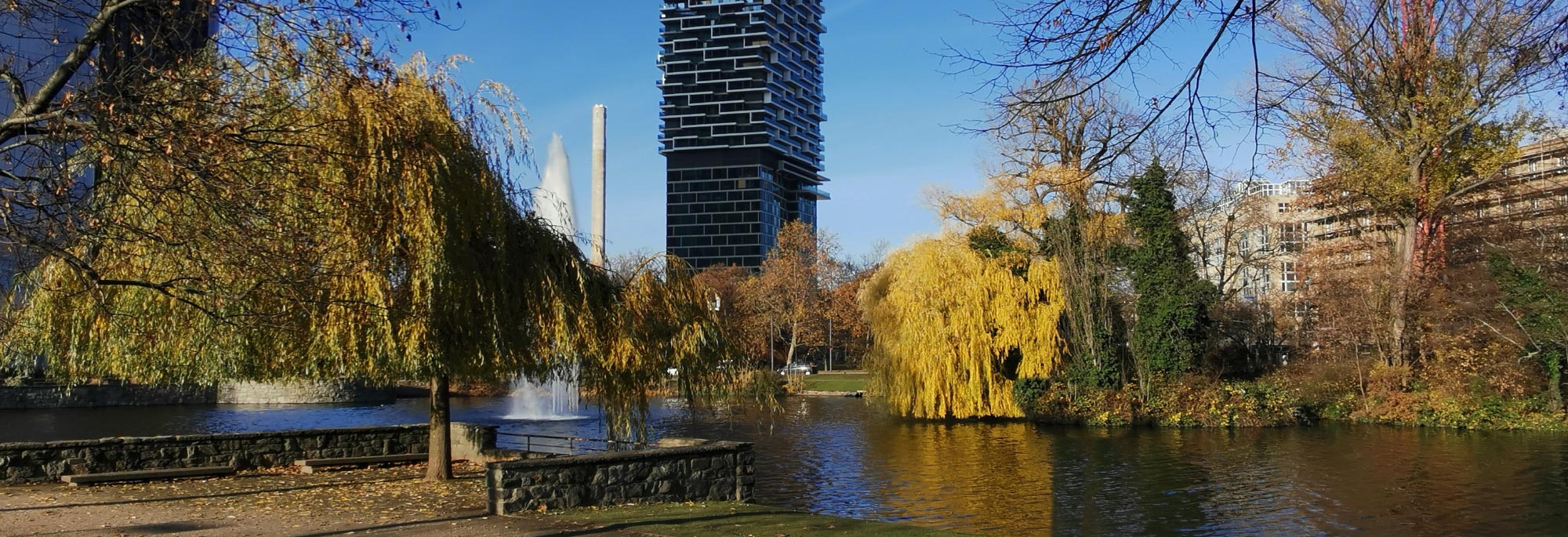
The ring of avenues was modeled on the Grands Boulevards in Paris. The plant ring around Frankfurt’s Neustadt, which was built at the beginning of the 19th century, as well as the avenue ring to be created further outside, were intended to connect the entrance and exit roads with one another and thus create a system of ring and radial roads. The densely built-up districts of Westend, Nordend, Ostend and parts of Bornheim, which had grown between 1840 and 1890, were within the avenue ring. In addition, there was a part of the Bahnstraße laid out after 1888, today’s Friedrich-Ebert-Anlage, which connected the main station and the Bahnhofsviertel and Gallus with Bockenheim.


The following streets belong entirely or partially to the Alleenring: Am Haupbahnhof, Düsseldorfer Straße, Friedrich-Ebert-Anlage, Senckenberganlage, Zeppelinallee, Miquelallee, Nibelungenallee, Habsburgerallee, Henschelstraße, Danziger Platz, Grusonstraße, Hanauer Landstraße, Sonnemannstraße, Oskar-von-Miller-Straße, Schöne Aussicht, Mainkai, Untermainkai, Baseler Platz and the Baseler Straße.


A comparison of the Alleenring and the Anlagenring, which is also located in Frankfurt.

